Roads Through Painted Country
Sometimes the Road Is the Destination.
thistleford maps the corridor as a sequence of scenic drives, short hikes, and overlook pauses. Distances use miles; clocks use 12-hour AM/PM; heat planning uses °F. Park access follows published daytime hours only.
| Route | Distance | Duration | Terrain | Difficulty | Best Time |
|---|---|---|---|---|---|
| Painted Desert Scenic Drive | Park road segments ~28 mi network | 2–4 hrs with stops | Paved overlooks | Easy | 7:00 AM–11:00 AM |
| Blue Mesa Trail | ~1.0 mi loop | 45–75 min | Exposed path | Moderate | 7:30 AM–10:00 AM |
| Crystal Forest Walk | ~0.8 mi | 30–50 min | Flat interpretive | Easy | 10:00 AM–1:00 PM |
| Jasper Forest Overlook | Roadside stop | 15–30 min | Overlook deck | Easy | 3:00 PM–5:00 PM |
| Petrified Forest Discovery Route | North–south park spine | Half day+ | Mixed paved | Easy–Moderate | Opening to mid-afternoon |
| Sunset Across the Painted Hills | Overlook dependent | 45–90 min | Rim pullouts | Easy | Before posted closing |
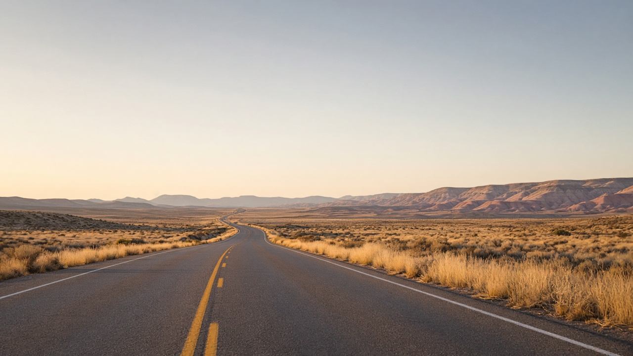
The Road Across the Open Land
Scenic Drive
Rim overlooks across layered hills.
Desert Overlooks
Elevation, walking distance, best light.
Historic Route 66
Quiet pavement, not neon nostalgia.
Short Trail Stops
Blue Mesa and Crystal Forest walks.
Editorial Route Map
Scenic Drives
Short Hikes
Painted Hills
Fossils
Overlooks
History
Photography
Combine these routes with landscape context from Desert Geology and lodging logistics in the three-day itinerary. For fossil ethics and Crystal Forest detail, continue to Petrified Forest.
Plan Your Painted Desert Adventure
Water, sun protection, offline maps, light layers, comfortable shoes, camera, daypack, and weather-appropriate clothing.